
Aerial survey - latest available digital aerial photography
What is it:
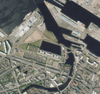
These layers show the latest available Aerial Photography data for Scotland
- 25cm resolution, shows continuous coverage, based on a full data set from 2008 onwards
- 12.5cm resolution, shows partial coverage, particularly cities.
The imagery may take time to load at some zoom levels.
Date of data: Various with different areas updated annually.
Please note there is an issue with these layers, so they are currently not available. An update will be provided in due course.
Data originators:
This information page is part of the theme:
Aerial photography - Scottish Government offices Leith